Index >> Graphic Apps >> CAD >> Copan Pro
Report SpywareCopan Pro 11.11

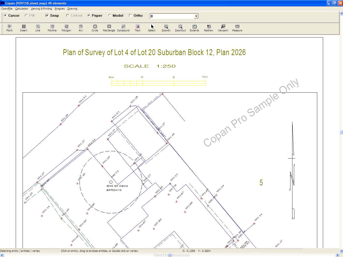 Click to enlarge screenshot
Software Description:
Copan Pro - Compute and manage land survey coordinates and draft survey maps and plans.
Copan Pro -- for Windows 98, NT, 2000, ME, XP, Vista, or 7 -- is a very functional and easy-to-use desktop/netbook geomatics engineering tool for computing and managing plane land surveying and mapping coordinates, and drafting survey maps and plans.
It does numerous coordinate geometry (COGO) calculations, processes and adjusts raw field survey data, computes and adjusts map traverse data, performs map or deed checks, calculates areas and perimeters, performs coordinate transformations, imports/exports Ascii files, draws lines, arcs, polylines, labels and symbols, and processes digital level data.
It supports quadrant and whole-circle bearings, south-based and north-based circle bearings, and gons (or grads) as well as degrees-minutes-seconds. It saves coordinate files continuously -- no need to save manually. It supports Geodimeter, Leica, Wild, Nikon and TDS total station formats. Draft with it in model-space or paper-space, via mouse cursor or via coordfile point. Its coordinate files may be accessed by UGL's version of Windows Free42, an HP-42S simulator program, or copied to a memory card and used directly by the Palm OS, Pocket PC and Mobile versions of Copan.
Designed for land surveyors, geodetic/civil engineers, professionals and students, Copan Pro is available from UGL at http://www.underhill.ca/software/copan-pro for free, limited-time use. Request password from http://www.underhill.ca/software/copan-pro-software-key.
What's New: Line draw bug fix. New expiry.
Limitations: 30 Days Trial; Expiry for free trial is based on calendar date, not on day count. Paid version does not expire.
Feature List:
- Encompasses all the capabilities of Copan Lite: COGO, field and map calculations, coordinate transformations, import/export capabilities, and other functions
- Draw lines, arcs, polylines, and compounds of same
- Add labels
- Change line style, text style, drawing layer
- Define symbols
- Work in model-space or paper-space
- Position via mouse cursor or via coordfile point
- Add viewports: views of model from paper
- Processes Leica Level data
100% Clean:
 Copan Pro 11.11 is 100% clean
This download (CopanPro.setup.exe) was tested thoroughly and was found 100% clean. Click "Report Spyware" link on the top if you found this software contains any form of malware, including but not limited to: spyware, viruses, trojans and backdoors.
Related Software:
- Copan Lite 11.11 - Free coordinate geometry (COGO) tool for land surveyors and civil engineers.
- Copan for PocketPC 1.0.7 - Free coordinate geometry (COGO) tool for land surveyors and map drafters.
- Copan for Mobile 1.0.7 - Free coordinate geometry (COGO) tool for land surveyors and map drafters.
- ABViewer 9.1 - CAD DWG DXF HPGL TIFF CGM SVG WMF STEP IGES STL SAT viewer, editor and converter
- Visual Drawing Maker 1.13 - Convert CAD files into self viewing executable (*.exe) files.
- MITCalc3D for SolidWorks 1.61 - Mechanical, Industrial and Technical Calculations for SolidWorks
- AutoQ3D CAD 5.10 - Full CAD application that let you make a lot of things in 2D & 3D
- progeCAD Professional AutoCAD Clone 2011.2.0.9 - progeCAD AutoCAD DWG Clone, 1/10th the cost, no learning curve for AutoCAD users
- DWF to DWG Converter 2007 2010 - Instantly convert DWF files to AutoCAD DWG and DXF files.
- AutoDWG Attribute Extractor 2.8 - AutoDWG Attribute Extractor, extract attribute information
top 10 most downloaded
recommended software
-
- 1AVCenter
- With 1AVCenter you can record your entire screen or part of it directly to AVI or WMV, capture screenshots in JPG, share your screen over the internet...

-
- IconEdit2
- Create and edit icon files for Windows, iPhone, iPad, Apple Watch, and Android with professional yet easy-to-use Icon Editor. IconEdit2 has full suppo...